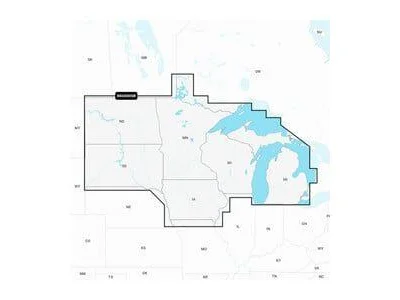
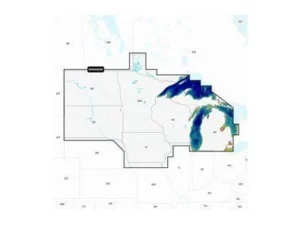
Coverage extended to include all of the Great Lakes. This adds the Canadian side of Lake Superior and Lake Huron plus all of Lake Erie and Lake Ontario. Formerly “U.S. North.”
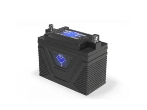
 GARMIN Navionics Vision+ U.S. North - Lakes, Rivers and Coastal Marine Charts NVUS005R | 010-C1289-00
$249.99
GARMIN Navionics Vision+ U.S. North - Lakes, Rivers and Coastal Marine Charts NVUS005R | 010-C1289-00
$249.99
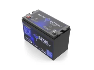
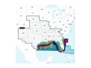 GARMIN Navionics Vision+ U.S. South - Lakes, Rivers and Coastal Marine Charts NVUS006R | 010-C1290-00
$249.99
GARMIN Navionics Vision+ U.S. South - Lakes, Rivers and Coastal Marine Charts NVUS006R | 010-C1290-00
$249.99
GARMIN Navionics+ U.S. North – Lakes, Rivers and Coastal Marine Charts NSUS005R | 010-C1289-20
$149.99
GARMIN Navionics+ U.S. North – Lakes, Rivers and Coastal Marine Charts NSUS005R | 010-C1289-20
2 in stock (can be backordered)